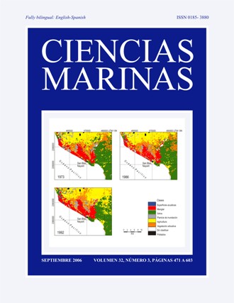
Assessment of landscape changes and their effects on the San Blas estuarine system, Nayarit (Mexico), through Landsat imagery analysis
Main Article Content
Abstract
Seven land cover classes were selected to produce thematic maps based on supervised classification techniques and digitization of ancillary data. The accuracy of the classification was high when the aquatic surface category was included (overall accuracy > 80%), but moderate when it was excluded from the analysis (overall accuracy = 78%; Kappa coefficient = 0.68), and it was better than that of a random classification. The output maps were cross-tabulated to detect the trends and proportion of the changes, and to assess the location and residence stabilities at class level. At landscape level the proportion of changes was significant, around 20% from 1973 to 1986 and 30% from 1986 to 1992, although the coastal wetlands remained relatively stable. Since 1973, the San Blas landscape has been dominated by induced coverages that have gained areas formerly occupied by forests, which have lost about 50% of their coverage in 19 years, with an annual deforestation rate of 3.4% that is homogenizing the coastal landscape. Around 1900 ha of shrimp culture ponds were determined from the 2001 image, mainly located in the floodplains, with an overall impact on the wetland areas due to the loss of connectivity among them.
Downloads
Article Details
This is an open access article distributed under a Creative Commons Attribution 4.0 License, which allows you to share and adapt the work, as long as you give appropriate credit to the original author(s) and the source, provide a link to the Creative Commons license, and indicate if changes were made. Figures, tables and other elements in the article are included in the article’s CC BY 4.0 license, unless otherwise indicated. The journal title is protected by copyrights and not subject to this license. Full license deed can be viewed here.

